
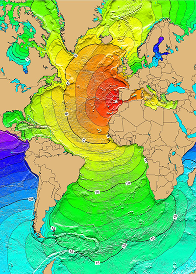
Portuguese citizens were celebrating All Saints Day on 1 November 1755 when a massive earthquake—now estimated to be between magnitude 8.0 and 9.0—struck off the coast of the country. Buildings collapsed in the intense shaking, and tsunami waves radiated outward across the Atlantic Ocean.
Written records report large waves washing ashore in Spain, Portugal, Morocco, England, the Azores, and Newfoundland. But smoking gun evidence of the tsunami—actual deposits of sand or other materials, which allow scientists to estimate tsunami intensity—has proven to be elusive in the New World.
That’s all changed now.
Alerted by a phone call from an archeologist saying, “There’s probably something of interest to you in [the Martinique city of] Fort-de-France,” marine geophysicist Jean Roger and his colleagues have now shown that layers of white and black sand in an archaeological dig in the historical city center are relics of the powerful 18th century cataclysm.
Because Fort-de-France is located in a very sheltered area of Martinique, the team ruled out storms as a source of the unusually thick deposits, roughly 8 centimeters in total, of sand. “The only possible way to inundate this city is from a tsunami,” Roger told Eos in a recent interview.
An Unusual Stripe
Roger, an independent researcher based in Mayotte, a grouping of islands between Mozambique and Madagascar, had long sought Caribbean deposits from the 1755 tsunami. Before he received that phone call, which came in 2013, he and his collaborators had already fruitlessly scoured the region for 2 years.
Then, at the ongoing excavation of 17th and 18th century buildings in Fort-de-France, the researchers were shown an unusual stripe that ran throughout the excavated pits: a roughly 1-centimeter-thick white sandy layer rich in shells, capped by a 6- to 9-centimeter-thick layer of coarse black sand.
On the basis of the ages of ceramic fragments found in adjoining soil layers, Roger and his colleagues estimated that the sandy stripe had been laid down between 1726 and 1783. The researchers then compared this date range with historical tsunami catalogs and meteorological reports of storm surges and heavy rains. The only match was the 1755 earthquake in Portugal, whose tsunami waves would have traveled roughly 5,700 kilometers before washing ashore on the tiny Caribbean island.
A Tiny Beach
One mystery bothered the researchers: Where did the coarse black sand come from? “We investigated all of the beaches around Martinique, but we did not find any similar sand,” said Roger. A large coral patch in Fort-de-France Bay generates only white sand.
The answer came unexpectedly. One day, while Roger and his colleagues walked along the mouth of the Madame River, a large river that bisects Fort-de-France, they stumbled upon a tiny beach, barely 10 meters wide. Several fishermen’s huts were clustered on the beach, but the researchers’ eyes were immediately drawn to the ground. “The sand was black,” said Roger. “When I ran that sand through my hand, I knew it was the same as the sand in the archaeological site.” Laboratory analyses later confirmed the match and revealed that the black sand came from one of Martinique’s volcanoes.
“We had the sand, we knew where it came from, but there was still a problem—the size of the tsunami deposit,” said Roger. The 1755 tsunami was reported to be only 80–100 centimeters high in Martinique, far too small, on the basis of tsunami modeling, to have produced the roughly 8-centimeter-thick sandy stripe that permeated the Fort-de-France site. Instead, the model predicted that such a tsunami should only have produced a layer about 1 centimeter thick, roughly the thickness of the white sandy layer found in Fort-de-France.
A Channeled River
In a new paper submitted to Natural Hazards and Earth System Sciences and posted online by the journal on 7 August while it undergoes peer review, Roger and his colleagues may have found a solution to this last puzzle.
Historical records indicate that walls encased the sides of the Madame River in 1755, the researchers note. The deposit’s thickness might be explained if the tsunami had headed up the Madame River as a turbulent flow, known as a bore, which is highly effective at transporting sediments, Roger said, especially if the river’s enclosure had concentrated the energy of that flow. In this new scenario, tsunami waves propagating directly from the sea into the city transported the thin layer of white sand rich in shells, whereas the much thicker black layer rode in with the bore.
Valérie Clouard, a geophysicist at the Institut de Physique du Globe de Paris and a team member, notes the serendipity of the bore-transported material being a different color than the sand pushed by the tsunami waves. “If the two sands had been the same color, we could have thought that everything was deposited only by the tsunami waves,” she said, which would have resulted in an overestimate of the tsunami’s intensity.
This study “highlights the benefits of collaborative research in geology and archaeology,” said Paula Dunbar, a physical scientist at the Cooperative Institute for Research in Environmental Sciences at the University of Colorado in Boulder who was not involved in the research. Its methodology can be applied in other geographic locations to improve historical tsunami catalogs, she added.
Because historical records of tsunamis are often used to establish tsunami hazard maps and evacuation plans, it’s important to distinguish between direct tsunami inundation and the effects of tsunami bores in rivers, said Roger. This work also highlights the danger of tsunami bores. “Many large cities are located close to rivers,” he noted.
—Katherine Kornei (email: [email protected]; @katherinekornei), Freelance Science Journalist